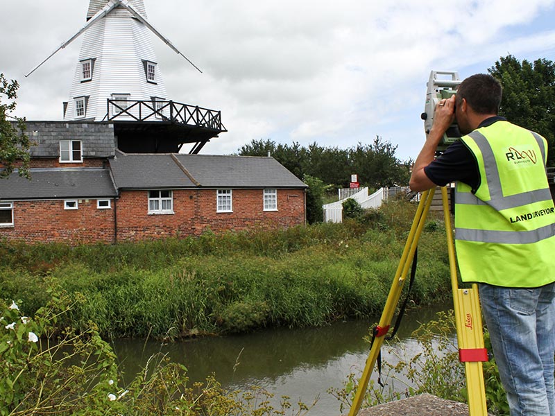
For the past twenty years our Land Surveyors have worked on a wide variety of construction & redevelopment projects which have involved the preparation of 2D & 3D plans. These plans are then taken by Architects & Town Planners as a basis for all future planning works on the site. The projects range in size from small one unit developments to projects consisting of over 7,000 new homes.
Our experience has been gained working predominantly with Architects, Town Planners & Local Authorities in Kent, Sussex, Surrey, Essex & London. However we are able to undertake surveying jobs across the United Kingdom with relative ease.
For examples of our work please see the links below, but as an indication of our experience, our project involvement has included:-
The Kennington Oval / Hampstead Ponds, London / Heathrow Airport / Gatwick Airport / University of Kent at Canterbury / Cardiff Light Maintenance Depot / Ashford International Station / Frankham Manor, Marks Cross / Hastings Seafront / Milford Haven Oil Jetty / Grain LNG Heathrow Airport / Gatwick Airport / RAF St Athan / Rivers Darent & Cray / River Stour, Canterbury.
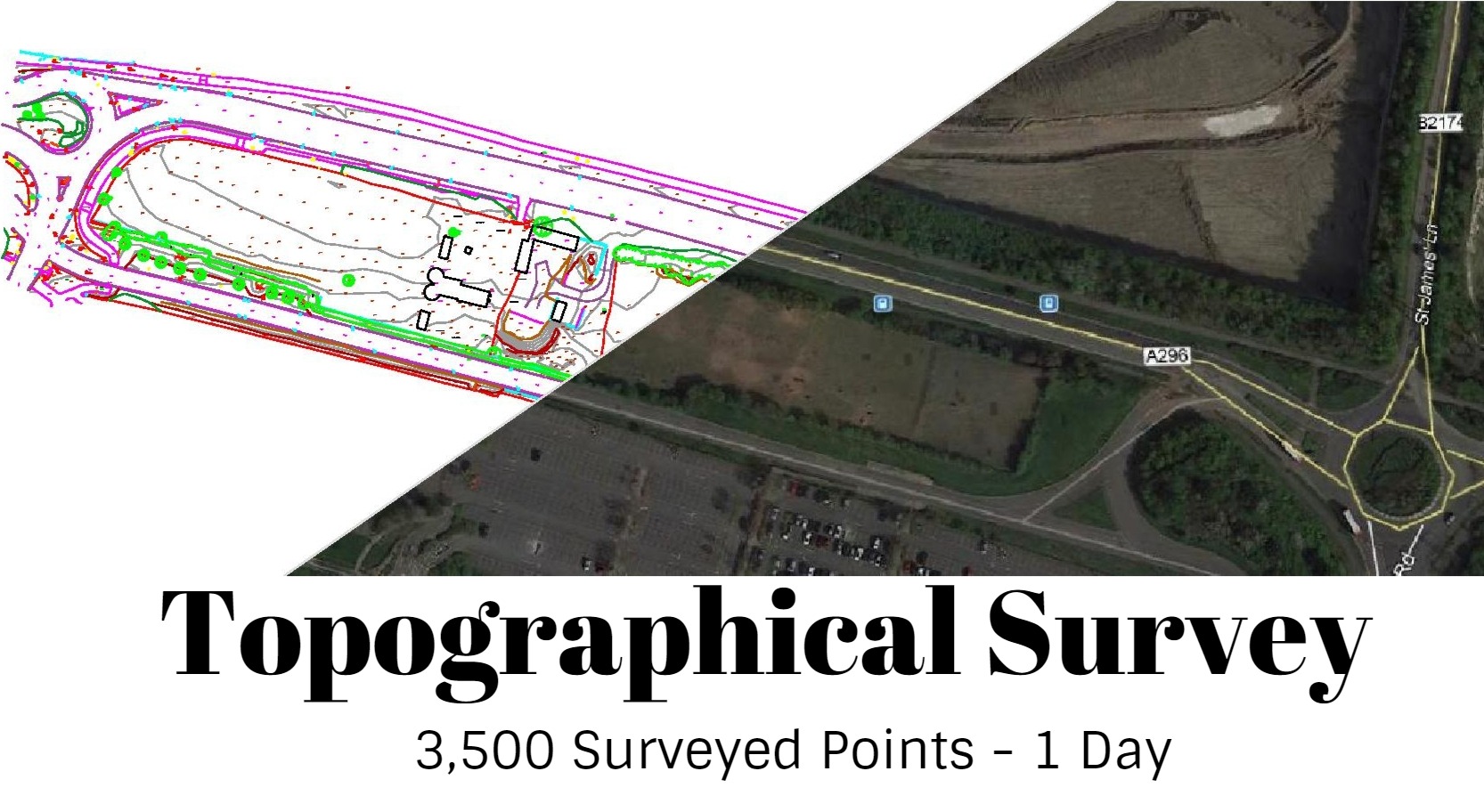
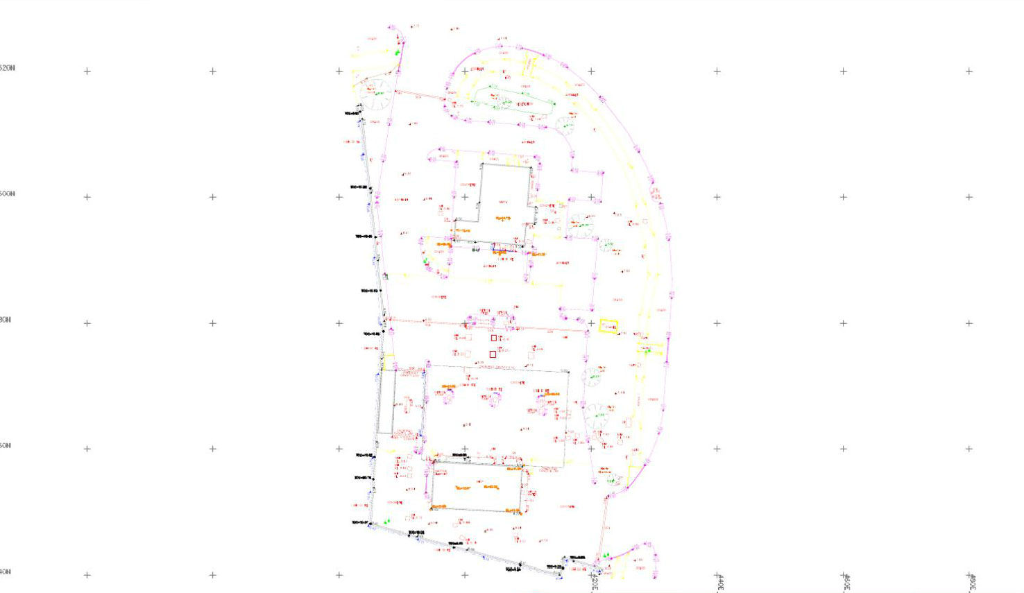
There are many types of topographical survey we can do including (but in no way limited to!)
R L Surveys Ltd is Registered in England & Wales
No. 07706617 Registered Office: 128 Lakemead, Ashford, Kent. TN23 4XZ
R L Surveys Ltd are VAT Registered.